Maps/Locative Media

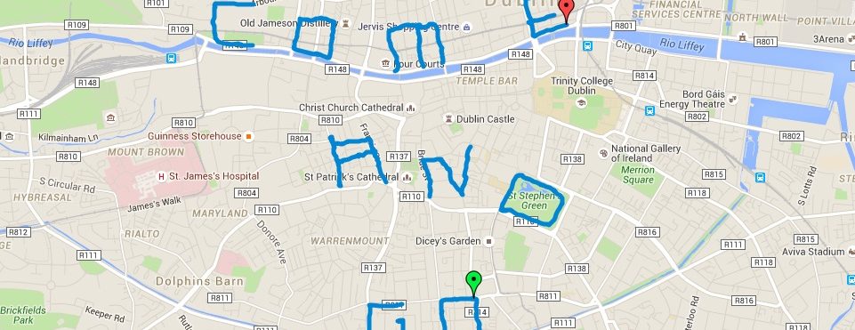
Mapa com marcas no chão em Toronto, André Lemos.
Mais um post hoje sobre a relação mapa/locative media/urban space. O post mostra como as novas formas de produção de mapas cria uma nova relação com o espaço urbano, inclusive com produção de conteúdo gerado pelos usuários. Mais um reforço do que estamos mostrando nesse Carnet. Vejam a íntegra do post no Digital Literacy.
Trechos:
“(…) Maps were initially available in printed form only. Technology and the Internet have changed that. Maps are now available on the net and that means that they can be accessed from any location as long as there is a connection and a device. Maps are important because they provide information which helps people to from an opinion or an impression of a place.
Maps used to be designed and labelled by cartographers and it used to be an entirely professional task. Locative media however makes it possible for anyone that is interested in using them to gain access. The internet maps provide an avenue for individuals and groups to place mark locations and add information based on their experiences or thoughts of such locations using text, pictures or audio. It provides an avenue for interaction between people themselves and these locations and also provides different styles options of mapping locations.
It increases accessibility to maps which used to be limited to libraries and could only be viewed or used with permission for a short period of time. Now you don’t need permission to view them.
It can help to change the way people perceive their environment because mapping increases people’s sense of ownership of the environment and influences the way they live. It helps to merge the physical and the virtual environment; it is convenient, timely and can be useful as a communication tool. It can also be used to give directions.
Locative media involves the use of a combination of technological tools like Global Positioning Systems, Google maps, Geographic Information system, mobile phones, lap tops and other mobile devices in physical places and locations to generate content which can be audio or visual about that location and is linked to the net. It provides a forum for generation of content, forming relationships, sharing information, getting feedback, analysing, making comparison and general social interactions
It creates the opportunity to cut across borders and combine the physical and virtual environment, creating an entirely new environment from the mix; it provides detailed information about a location which would otherwise not be immediately obvious.(…)”