Cellphones and Maps
Dois posts interessantes nos blogs de Jan Chipchase – Future Perfect e Taming the Space me permitem retomar a discussão que venho estabelecendo aqui sobre o celular como ferramenta de atuação política móvel (como o post anterior sobre a Smart Mob em São Francisco) e o uso social e democratizado de mapas como forma de apropriação do espaço, criando novos sentidos dos lugares, e construção de discursos autônomos sobre as comunidades.
Sobre celulares, destaca Chipchase:
“(…) for many the mobile phone is their primary video/photo/audio capturing and sharing device and as such their skills surpass what you might expect. (…) that a person’s understanding of what happens when they use mobile technology can be significantly out of sync with what actually happens – something that system designers sometimes refer to as the user’s mental model. (…) Examples from both ends of the spectrum of understanding: Ken Banks talking about activists in Pakistan using Frontline SMS whilst riding around the city in a truck to reduce the risk of detection by base-station triangulation, to an interviewee in Tehran (but could equally be an example from my/your country) assuming that a voice mail message stored on the phone’s memory was out of reach of prying government ears – never mind that the message originally passed over the network which may be monitored. The spread of tools that can capture experiences means that more people are in a position to document and publish (human rights) abuses – including many ad-hoc activists who wont be aware that of the relative ease of tracing communication – and this in a world before the widespread adoption of geo-tagged photos.
(…) The three things on the device that will impact the spread of activist material in emerging markets and beyond: lower device cost’s are broadening the base of who can afford a feature rich mobile phone(…); memory prices are rapidly dropping and sufficiently-large-for-storing-media memory capacity will filter down into the lowest cost handsets (…) increasing the range of what is stored and the ability to communicate via the sneaker net – photos and video passed from hand to hand, rather than say sent over the network; and mobile phones equipped with TV Out e.g. N82 will leverage existing big-screen infrastructure and practices. (…)”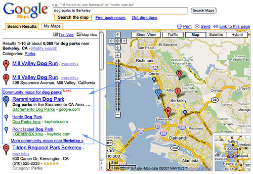
Sobre mapas, o post do “Taming the Future” releva o que já apontamos aqui nesse Carnet (formação de discursos próprios sobre a comunidade, resignificação dos lugares, etc…). O post é composto de comentários sobre o paper “Citizens as sensors: the world of volunteered geography de Michael F. Goodchild, GeoJournal (2007) 69:211–221”
“Here are some from the paper:
‘Why is it that citizens who have no obvious incentive are nevertheless willing to spend large amounts of time creating the content of Volunteered Geographic Information sites?
Self-promotion is clearly an important motivator of Internet activity
Public personal usage – Many users volunteer information to Web 2.0 sites as a convenient way of making it available to friends and relations, irrespective of the fact that it becomes available to all.
Personal satisfaction from seeing their own contributions appear in the growing patchwork.
While geographic naming has been centralized and standardized, and assigns no role to obscure individuals, the new web 2.0 environments have given rise to the composition of layers of new kind of volunteered geographic information.
Remote sensing with satellites has replaced mapping.
Very few people know the latitude and longitude of their home, but in normal human discourse it is place-names that provide the basis of geographic referencing. ‘
In Wikimapia…
‘anyone with an Internet connection can select an area on the Earth’s surface and provide it with a description, including links to other sources. Anyone can edit entries, and volunteer reviewers monitor the results, checking for accuracy and significance.
Google Earth and Google Maps popularized the term mash-up, the ability to superimpose geographic information from sources distributed over the Web, many of them created by amateurs.’
Practicality:
‘A collection of individuals acting independently, using shared protocols and standards, and responding to the needs of local communities, can together create a patchwork coverage.
Networks of human sensors
Humans themselves, each equipped with some working subset of the five senses and with the intelligence to compile and interpret what they sense, and each free to rove the surface of the planet.’ ”