Locative Media Reflexions
Dois depoimentos interessantes sobre o uso das mídias locativas, apontando para novas experiências com o espaço urbano. Os depoimentos mostram que, usadas com inteligência e independência, as mídias locativas podem, efetivamente, servir como instrumento de reapropriação do espaço criando novos sentidos dos lugares. Destaco estes depoimentos pois eles são de dois estudantes que, recentemente, tiveram contato com o tema. Espero que o mesmo aconteça por aqui, que meus alunos da disciplina optativa Mídia Locativa, assim como aqueles do curso de extensão sobre a mesma temática, possam criar suas experiências e tirar conclusões também interessantes.

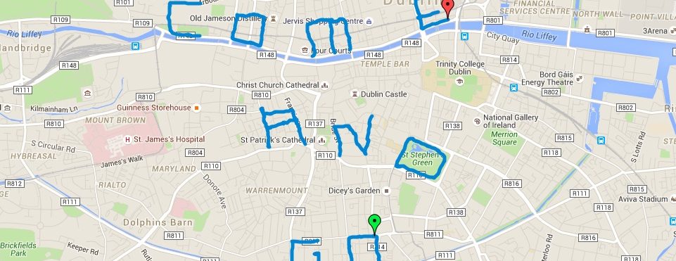
O primeiro, vejam o depoimento de um jovem skatista de São Francisco no Rob’s blog sobre o uso das mídias locativas e a apropriação do espaço pela prática do skate.
“Locative Media has given me many new ways of looking at space.
(…) I had some previous experience in Locative technology before this course, but I had no idea how rich the potential for artwork in this field is. Being a skateboarder, I use roadmaps with skate spots already marked out, I have used google earth to search for watersheds, empty pools, and other potential skate-spots from above. I had even thought of the possibility (if I had an iPhone) of taking already geo-tagged photos of every skate spot in San Francisco so I’d only have to look at my map application to see where the nearest skate spots were no matter my location in the city.
(…)We can look at spaces in different ways as to appreciate how that space may be used differently. As artists, we like to see things in an aesthetically pleasing way, through this lens of GPS we can see any space as beautiful. As i mention in my research paper, the space underneath Burnside Bridge in Portland was one of the city’s dirtiest, most crime-ridden areas. Skateboarders re-appropriated this space and made it their own by pouring concrete and building a skatepark. What was once a negative thing in the city of Portland became a great place for recreation and artistic expression, and its still there today after nearly 20 years.”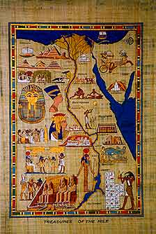
O segundo depoimento, também de um jovem estudante, tira conclusões interessantes sobre como as relações com o espaço podem ser enriquecidas com as tecnologias e os serviços baseados em localização, principalmente com os mapas “bottom-up”. Os trechos vêem do blog do khmartin.
“One of the aspects of this technology that interests me the most is its capability to help us understand and interpret our surrounding environment from a new point of view. What was visual space without much meaning before, can be embedded and overlaid with information to bring an area a new sense of meaning. One of the ways that people can gain a new understanding of our environment through this technology is mapping. Mapping allows us to apply visual meaning and substance to any area.
(…) Mapping of the space around us began long ago with cave paintings and Egyptian maps. People have been trying to understand their environment and how they can navigate through it for quite some time now. The content and detail of maps has progressed with human knowledge and development as we try to delve deeper into our understanding of the world.
(…) Locative media has allowed these different perspectives to be united so that space and time can be understood on a communal level. As stated in the head map manifesto, ‘Augmenting and annotating reality will lead to a new conception of space, new ways of looking at land ownership, new kinds of communities and states.'”